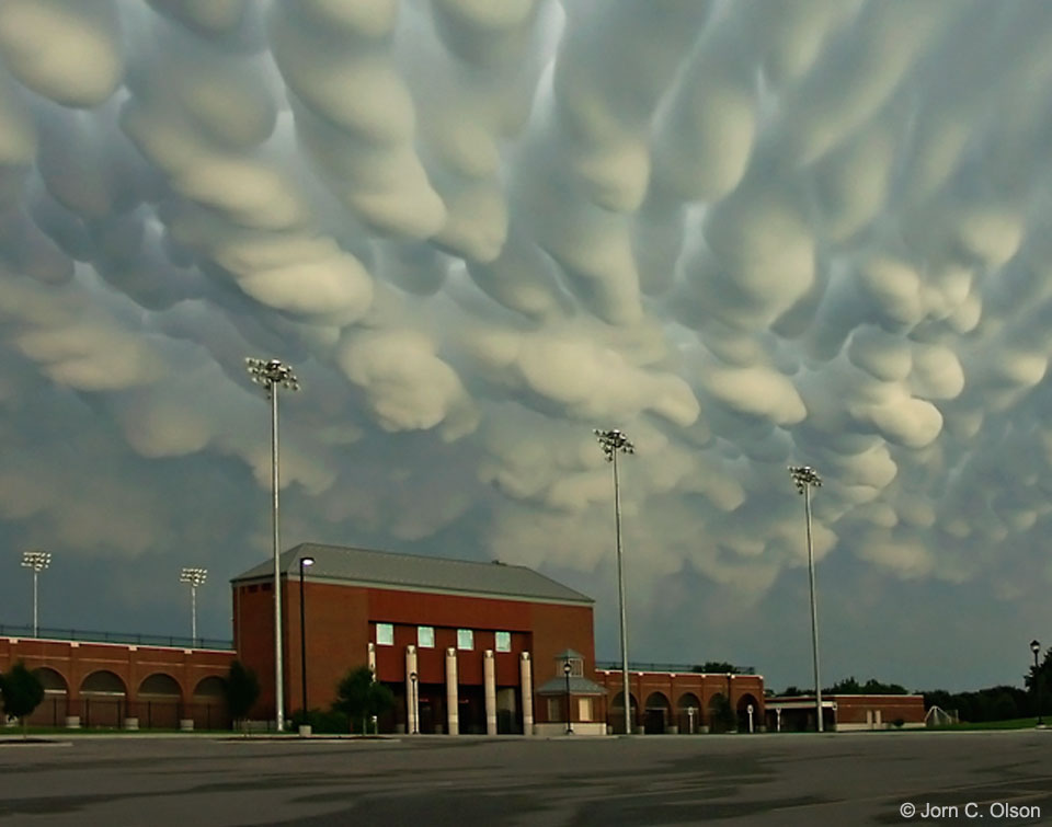
2019 December 15
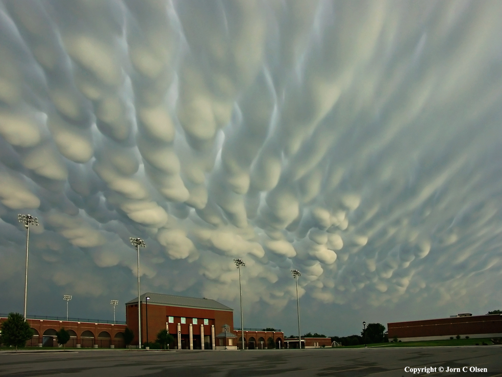
Mammatus Clouds over Nebraska
Image Credit & Copyright: Jorn Olsen Photography
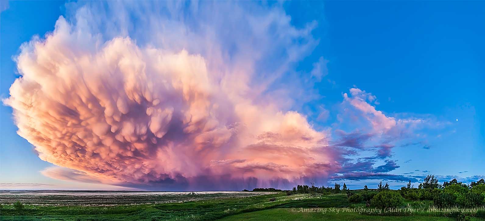
Explanation: When do cloud bottoms appear like bubbles? Normally, cloud bottoms are flat. This is because moist warm air that rises and cools will condense into water droplets at a specific temperature, which usually corresponds to a very specific height. As water droplets grow, an opaque cloud forms. Under some conditions, however, cloud pockets can develop that contain large droplets of water or ice that fall into clear air as they evaporate. Such pockets may occur in turbulent air near a thunderstorm. Resulting mammatus clouds can appear especially dramatic if sunlit from the side. The mammatus clouds pictured here were photographed over Hastings, Nebraska during 2004 June.
美国·内布拉斯加州上空的乳状云
影像提供与版权: Jorn Olsen Photography
说明: 何时云底会长得像泡泡?正常的云底是平的。这是因为潮湿的暖空气上升,在某一特定温度,通常也在某一对应的特定高度,受冷而凝结成小水滴。然后在小水滴变大之后,就形成不透光的云。不过在某些情况下,云的某些区域会发展成含有大水滴或冰粒的云胞,向下沉降与蒸发。这种云胞可能出现在雷暴系统的扰流区附近,所形成的乳状云在阳光的侧照之下,看起来特别显目。 上图的乳状云是在2004年6月,出现在美国.内布拉斯加州.黑斯廷斯市的上空。