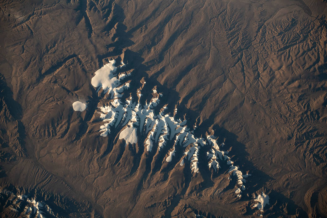
European Space Agency astronaut Samatha Cristoforetti captured a photo of a portion of China’s Tanggula Mountains near Hala Lake as the International Space Station orbited 260 miles above the Earth on Sept. 5, 2022.
Since the station began hosting human astronauts in November 2000, crew members have produced hundreds of thousands of images of the land, oceans, and atmosphere of Earth, and even of the Moon through Crew Earth Observations. Their photographs of Earth record how the planet changes over time due to human activity and natural events. This allows scientists to monitor disasters, direct response on the ground and study a number of phenomena, from the movement of glaciers to urban wildlife.
Image credit: NASA
2022年9月5日,国际空间站在距地球260英里的高空绕轨道运行时,欧洲航天局宇航员萨马塔·克里斯托弗雷蒂拍摄到了中国哈拉湖附近唐古拉山脉的一部分。
自空间站于2000年11月开始接待人类宇航员以来,宇航员通过对地球的观测,拍摄了数十万张地球的陆地、海洋和大气层,甚至月球的图像。他们拍摄的地球照片记录了地球是如何随着人类活动和自然事件而随时间变化。这使科学家能够监测灾害,直接在地面作出反应,并研究从冰川运动到城市野生动物的许多现象。
影像来源:NASA

