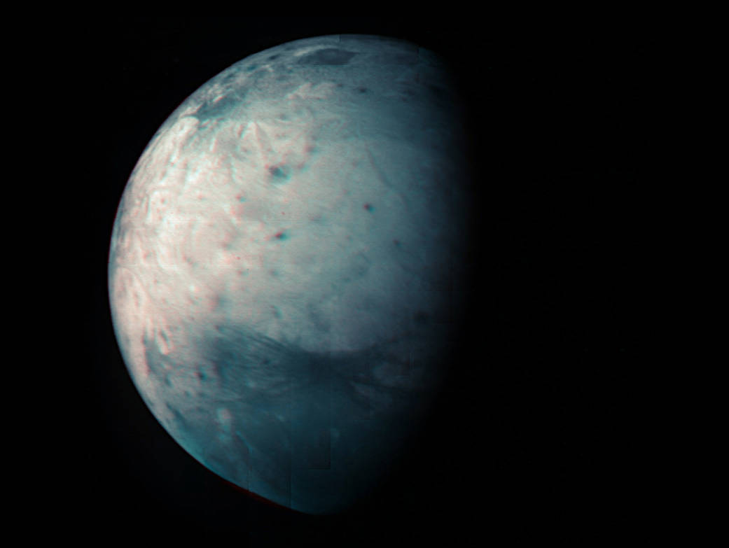
This infrared view of Jupiter’s icy moon Ganymede was obtained by the Jovian Infrared Auroral Mapper (JIRAM) instrument aboard NASA’s Juno spacecraft during its July 20, 2021, flyby.
JIRAM’s infrared instrument developed this image during recent flybys of Jupiter’s mammoth moon to create this latest map, which comes out a decade after Juno’s Aug. 5, 2011, launch.
The Juno science team produced a new infrared map of Ganymede by combining data from three flybys, including its latest approach on July 20. These observations by JIRAM, which “sees” in infrared light not visible to the human eye, provide new information on Ganymede’s icy shell and the composition of the ocean of liquid water beneath.
JIRAM was designed to capture the infrared light emerging from deep inside Jupiter, probing the weather layer down to 30 to 45 miles (50 to 70 kilometers) below Jupiter’s cloud tops. But the instrument can also be used to study the moons Io, Europa, Ganymede, and Callisto (known collectively as the Galilean moons in honor of their discoverer, Galileo).
Image Credit: NASA/JPL-Caltech/SwRI/ASI/INAF/JIRAM
这张木星冰冷的卫星木卫三的红外图像是由NASA朱诺号飞船搭载的木卫三红外极光绘图仪(JIRAM)在2021年7月20日飞掠期间拍摄的。
JIRAM的红外仪器在最近飞越木星这颗巨大的卫星时拍摄到了这张照片,并绘制了这张最新的地图,这张地图是在朱诺号于2011年8月5日发射10年后发布。
朱诺号科学团队结合三次近距离观测的数据,绘制了一幅新的木卫三红外地图,其中包括7月20日的最新一次近距离观测。JIRAM通过肉眼不可见的红外光观测木卫三,为木卫三的冰壳和其下液态水海洋的组成提供了新的信息。
JIRAM的设计目的是捕捉从木星内部深处发出的红外光,探测木星云顶以下30至45英里(50至70公里)的天气层。但该仪器也可以用来研究木卫一、木卫二、木卫三和木卫四(为纪念它们的发现者伽利略,统称为伽利略卫星)。
了解更多。
图片来源:NASA/JPL-Caltech/SwRI/ASI/INAF/JIRAM

