NASA has investigated humanity’s impact on a number of our home planet’s natural resources and recently explored our impact on freshwater resources. Scientists have now completed the first global accounting of fluctuating water levels in Earth’s lakes and reservoirs – including ones previously too small to measure from space.
The research, published March 3 in the journal Nature, relied on NASA’s Ice, Cloud and land Elevation Satellite 2 (ICESat-2), launched in September 2018.
ICESat-2 sends 10,000 laser light pulses every second down to Earth. When reflected back to the satellite, those pulses deliver high-precision surface height measurements every 28 inches (70 centimeters) along the satellite’s orbit. With these trillions of data points, scientists can distinguish more features of Earth’s surface, like small lakes and ponds, and track them over time.
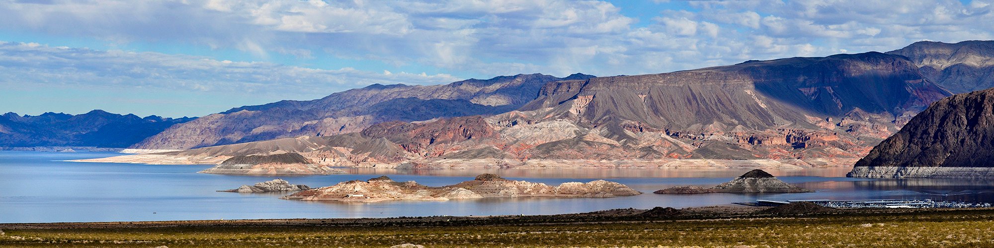
This image is of Lake Mead, which was formed by the creation of the Hoover Dam and lies on the Colorado River just south of Las Vegas.
#WorldWaterDay
Learn more about NASA research on our planet’s most valuable resource.
Image Credit: National Park Service
NASA研究了人类对地球自然资源的影响,最近还探讨了人类对淡水资源的影响。科学家们现在完成了对地球湖泊和水库水位波动的首次全球统计——包括那些以前太小而无法从太空测量的湖泊和水库。
这项研究于3月3日发表在《自然》杂志上,依据的是美国宇航局2018年9月发射的冰、云和陆地高程卫星2号(ICESat-2)。
ICESat-2每秒钟向地球发送10,000个激光脉冲。当这些脉冲反射回卫星时,沿卫星轨道每隔28英寸(70厘米)就会发送高精度的表面高度测量数据。有了这些上万亿的数据点,科学家们可以分辨出更多的地球表面特征,比如小湖泊和池塘,并随时间推移对其进行跟踪。
这张照片拍摄的是米德湖,它是由胡佛水坝形成的,位于拉斯维加斯南部的科罗拉多河上。
#WorldWaterDay
图片来源:国家公园管理局

